
 Slovenščina
 English
 Deutsch
 Bosanski
 Dutch
Dutch Hrvatski
 Čeština
 Dansk
Dansk Dutch
Dutch Suomi
Suomi Français
 Deutsch
 Magyar
 Italiano
 Polski
 Español
 Svenska
 Deutsch
Use a map
Use a hiking map
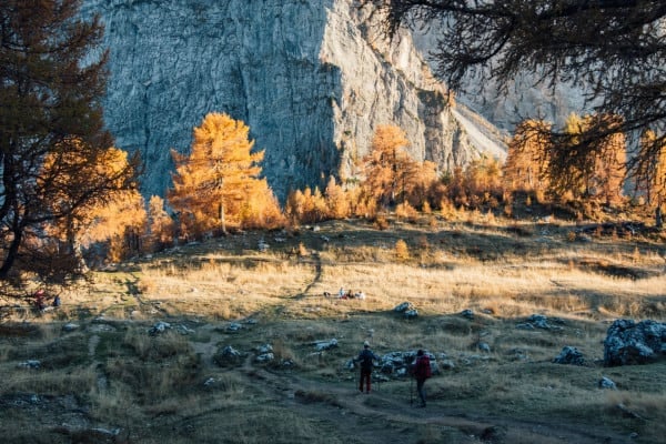
The proper hiking maps in the backpack is as essential as drinking water.
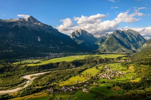
Choose a hiking trail regarding the hiking map and the Alpine Association of Slovenia apps https://maps.pzs.si or https://outdooractive.com. Some other applications can show untruth data and closed paths, which can be dangerous.
Ask tourist information centres for the current conditions. We also sell some maps in Erjavčeva mountain hut. Ask our staff.
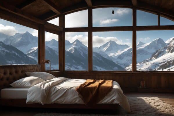
Book accommodation in mountain huts like Erjavčeva mountain hut for a multi-day hike.
Remember to wear the appropriate hiking shoes and climb your nails.
Good luck, enjoy nature and stay respectful and safe.
Popular topics
- Rooms and accommodations in the Alpine hut
- Live and travel like a local
- Affordable accommodation in Kranjska Gora
- Perfect location
- Frequently asked question
- Weather at Vršič pass
- Live and work at Erjavčeva’s hut
- Martuljek
- Erjavec lodge Vršič (1916)
- Hanzova pot on Prisojnik
- Krnica – Kranjska Gora
- Zadnjica valley


")


