
 Slovenščina
 Bosanski
 Hrvatski
 Čeština
 Dansk
Dansk Dutch
Dutch Suomi
Suomi Français
 Deutsch
 Magyar
 Italiano
 Polski
 српски
 Slovenčina
 Español
 Svenska
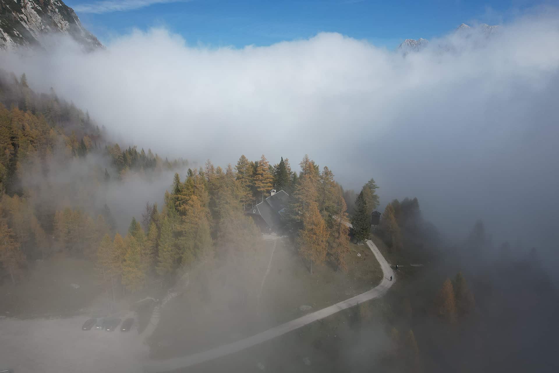

On this page
Jump to the most useful sections of this guide.
Quick summary
The most useful points from this guide before you continue.
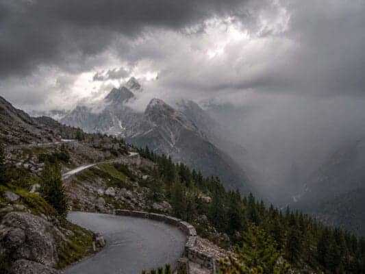
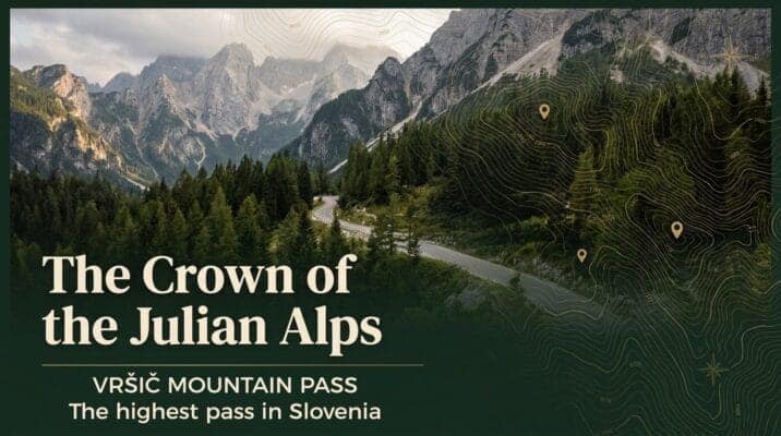
Stay on Vršič Pass
Stay at Erjavčeva koča on Vršič Pass
Erjavčeva koča is a mountain hut at Vršič Pass, between Kranjska Gora, Trenta, the Soča Valley and the Julian Alps. It is a practical base for hikers, road-trippers, cyclists and guests who want to stay close to the mountain pass.
- Direct location on the Vršič Pass road
- Good base for hiking, scenic drives and Julian Alps day trips
- Useful for guests visiting Kranjska Gora, Trenta, Soča Valley and Triglav National Park
- Food, mountain-hut atmosphere and practical local information in one place
This block is designed for independent guests and self-service booking. It does not imply a price guarantee or live availability.
Before you book your stay
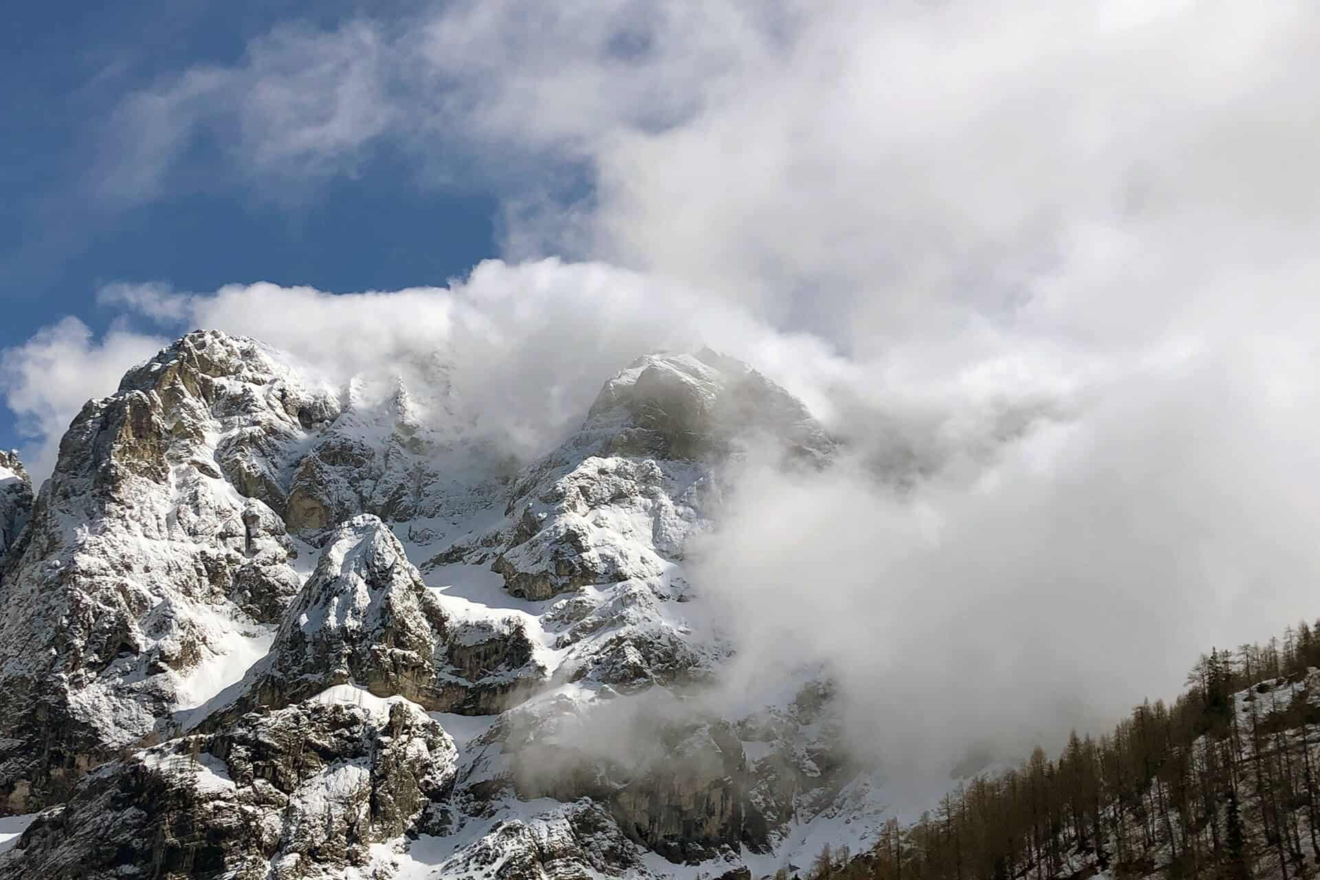
Vršič Pass is a high mountain location, so it is worth checking a few practical details before you travel. This helps you plan your arrival, parking, hiking day and overnight stay more easily.
Access and road conditions
The Vršič road can be affected by season, weather and traffic. Before travelling, check current access information and plan enough time for the mountain road.
Parking
Parking rules and availability around Vršič can change by season and operator. Check the latest parking information before arrival, especially in busy periods.
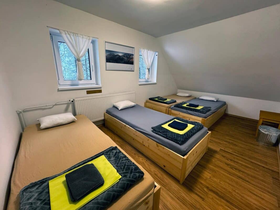
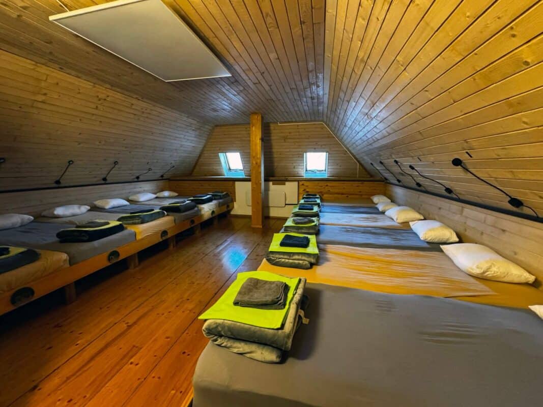
Rooms and overnight stay
If you plan to stay overnight, check room availability in advance. This is especially important during the hiking season, weekends and good-weather periods.
Food, opening hours and groups
Opening times may vary outside the main summer season or by arrangement with groups. Contact the hut directly for the latest information before making fixed plans.
Self-service planning for your stay at Vršič Pass
- Check room and availability options first.
- Read access, parking and arrival notes before travelling.
- Arrive with your own plan for Vršič, Kranjska Gora, Trenta and the Soča Valley.
- Use contact only for special cases, not for information already explained on the page.
A trusted mountain hut at Vršič Pass
Erjavčeva koča has been part of the Vršič mountain pass experience for generations. Guests use it as a practical alpine base for hiking, cycling, scenic drives, visits to Kranjska Gora and trips toward Trenta and the Soča Valley.
Ready to stay on Vršič Pass? Check the verified accommodation page and reserve directly with the hut.
Erjavčeva koča is a mountain hut at 1525 m, not a hotel or hostel. Come for nature, simple shelter and the rhythm of the mountains.
- ✓Simple mountain-hut comfort and shared house rules
- ✓Direct access to Vršič, trails and Triglav National Park
- ✓Quiet evenings, early starts and weather-dependent mountain life
- ✓Food, shelter and practical help from the hut team
- ×Unlimited parking or guaranteed road access in every weather
- ×Perfect silence during busy mountain days
- ×A valley resort experience
- ×Luxury hotel rooms or city-hotel services
Before you book your stay at Vršič Pass
Use the booking information on this page to decide independently. Booking platforms can help with comparison, but your reservation should be clear before you travel. Contact is only for special cases.
Direct booking is best for
- Checking rooms and availability
- Reading access, parking and arrival details
- Booking when your dates and plan are clear
- Special questions only for groups, late arrival or winter conditions
Booking platforms are useful for
- Comparing accommodation options
- Reading platform-specific reviews
- Managing platform bookings in one account
- Using platform filters and policies
No price guarantee is implied. This block encourages self-service planning and reduces unnecessary calls or emails.
What happens after you check availability?
Checking availability is the first booking step, not a request for personal travel planning. Read the arrival, access and parking information before you book. Contact is only for special cases.
- Choose the room or stay option that fits your plan.
- Complete the booking request with your travel date and arrival plan.
- Before travelling, read the access, parking and seasonal notes; use contact only for groups, late arrival or winter conditions.
CTA clicks are measured as intent signals. This block is designed for self-service reservations and to reduce unnecessary calls or emails.
Summer visit: parking, hiking and rooms
In summer, Vrsic is busy with hikers, cyclists and scenic-road visitors. Plan arrival time, parking, weather protection and overnight questions before you leave.
- Arrive early when parking demand is high.
- Check weather before longer hikes.
- For overnight stays, contact the hut directly before travel.
This block is a practical planning reminder, not a live availability statement.
This guide is prepared from the perspective of Erjavčeva koča, a mountain hut on Vršič Pass. Use it together with current weather, road conditions and responsible behaviour in Triglav National Park.
Juliana Hiking Trail Slovenia
Juliana Hiking Trail Slovenia
Juliana Hiking Trail Slovenia
LONG-DISTANCE HIKING TRAIL
The unique European area of the Alps is a geographical area that remarkably enters the heart of Europe, and our Julian Alps are the soul of the continent. The Julian Alps and Triglav National Park are under the auspices of the UNESCO Man and the Biosphere Programme because the Julian Alps are a treasure trove of natural and cultural riches.
On the edge of the Julian Alps, our ancestors forged iron and steel, survived many centuries while grazing animals on high pastures and persisted until today.
The Julian Alps community is now more interconnected than ever before and we are creating a new sustainable future of green tourism as the opportunity for preserving cultural and natural assets of this fragile environment, where the balance between biodiversity and lifestyle has been preserved by our ancestors for centuries.
RESPONSIBLE TOURISM IS NOW THE OPPORTUNITY OF OUR GENERATION.
Juliana Hiking Trail Slovenia
Juliana Hiking Trail Slovenia
DISCOVER THE BEAUTIFUL SIGHTS OF JULIAN ALPS
A trail that does not just conquer mountain tops or lead you in a respectful distance of the peaks along the edge of the Julian Alps and Triglav National Park. It takes you where you will feel the real pulse of life in the Julian Alps and learn about the rich natural and cultural heritage of this magnificent and astonishing alpine world that abounds in biodiversity.
The trail guides you through hidden and unknown places for meditation and in places with magical power (rivers, lakes, waterfalls, forests, exceptional trees, colourful flowers, rocks of unusual shapes), and in culinary, cultural, settlement and historical peculiarities.
THE JULIANA TRAIL SEEKS DIFFERENT HEROES – THOSE THAT ASPIRE ADVANCEMENT IN THEIR SPIRIT AS WELL AS ALTITUDE.
TECHNICAL INFORMATION:
Total length: 270 km
Number of stages: 16
Average stage length: 17,5 km (4–5 hrs)
Total difference in altitude: 7163 m ascent and 7163 m descent

Juliana Hiking Trail Slovenia
JULIANA TRAIL
LONG-DISTANCE HIKING TRAIL AROUND THE JULIAN ALPS
The Juliana Trail with all its faces is a trail through diversity. The heart of the Julian Alps with high peaks and deep valleys is a panorama from the trail that surrounds our largest mountain range and Triglav National Park. It is a circular long-distance trail, 270 km long and comprises 16 stages. The latter are from 17 to 20 km long on average, and can take from 5 to 7 hours of walking per day. The daily stages are planned so that it is possible to spend the night at the place where the stage starts or ends, and where there are also options for refreshments or where hikers can also buy food and drinks. The trail starts and ends in Kranjska Gora or can be walked in any desired direction. It can be started anywhere and hikers can tailor it according to their wishes and abilities. One or two stages, or perhaps even all. In one go or over a couple of years. The Juliana Trail is designed to enable hikers to visit various sights that are close to the trail.
The Juliana Trail runs eastwards from Kranjska Gora along the Sava Dolinka River, rises three times to the sunny Karavanke and in Radovljica, the cultural capital of the Julian Alps, turns back towards the west and climbs via Bled to the embrace of the mountains, the Pokljuka and further to Bohinj. From Bohinj, it continues along the old tracks to pass over the hilly barrier which separates the north-eastern part of the Julian Alps from the milder south-western part, initially characterised by Baška grapa and along the route to Bovec by the emerald Soča River. In the last part, the Juliana Trail continues through Log pod Mangartom and across the Predel pass tries to enter the Italian side of the Julian Alps. Via Tarvisio and Rateče the trail ends its circle in Kranjska Gora.
This guidebook provides the basic data about all the 16 stages of the Juliana Trail. Hikers can use technical data about the stages, various websites and addresses to find information. Each stage provides a map and altitude profile; the map also indicates interesting sites that are further described in the text.
The Juliana Trail is marked with signposts and markers. Signposts, that are usually yellow, show the logo of the Juliana Trail, the number of the stage and the name of the place at the end or the beginning of the stage, some signposts even mention significant places along the trail. Signposts mark the trail in both directions. Besides signposts, the trail is also marked with the individually designed marker in the form of two rhombs that contain the letters J and A (Julian Alps).
The trail around the Julian Alps connects the existing trails and runs along local roads between villages, and partially along the marked hiking, tourist and other themed trails. Somewhere on the trail we should not let the red and white mountaineering markers, yellow hiking or red and black markers of the Path of Peace in the Soča Region bother us – we are on the Juliana Trail, other markers, guides and maps can only offer additional support.
The Juliana Trail runs along the UNESCO protected Julian Alps Biosphere Reserve, and around Triglav National Park, also entering it a few times. Due to the nature, exceptional landscape and cultural heritage as well as local people, we should not forget that we are only passing through this magnificent environment and that we should leave it behind us as we found it.
Juliana Hiking Trail Slovenia
TO FIND, WALK, LEARN AND EXPLORE
The unknown diversity, to offer and use what is unknown to others; this is a trail to which you are invited and which can draw your attention back to the originality and simplicity of life. This is a trail of personal pilgrimage to oneself, to pristine nature and its magical beauty, in the diversity of landscape and in biodiversity.
source: here
Trips and Hikes around the hut

Why visit a moutain hut?
We are open year-round
We are located in the heart of Triglav National Park
Book a stay in the iconic, first-built mountain hut on the Vršič Pass

Erjavčeva mountain hut is open year-round. Reserve your stay and spend some time in the natural paradise of Triglav National Park (UNESCO), near Kranjska Gora, on the Vršič mountain pass in the heart of the park.
Reserve your stayRelated mountain and travel guides
Choose the next verified guide for planning routes, parking, overnight stays and places near Vršič Pass.
- Is there anywhere I can park? — travel guide
- Snow on Vršič on May 12 – Why Mountain Weather Changes So Quickly — travel guide
- Accommodation in Mountain hut Vršič Kranjska Gora Slovenia — travel guide
- Hanzova pot on Prisojnik — travel guide
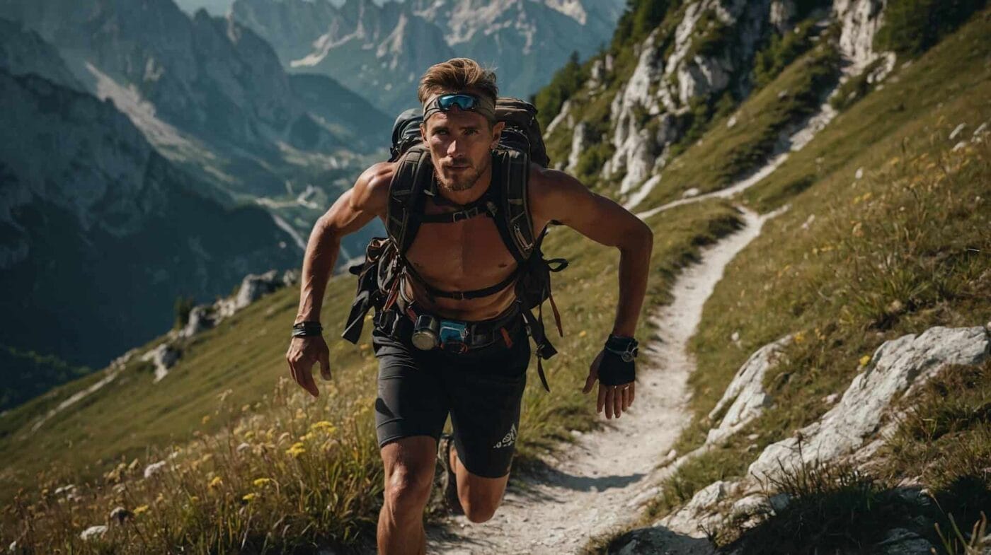
- Running spectacle in the Julian Alps — travel guide
- Where can I spend the night? — travel guide
Plan your visit from Erjavčeva koča
Useful guides, practical information and accommodation options for Vršič Pass, Triglav National Park and the Julian Alps.
Book your stay at Erjavčeva koča
Ready to stay on Vršič Pass? Check the verified accommodation page and reserve directly with the hut.
Road, parking and arrival FAQ
Use these answers before relying on a route, booking time or parking plan.
Is this a live Vršič road status?
No. The site can guide you to access information, but current road conditions should be checked before departure.
What should I plan before driving up?
Plan the approach, parking, arrival time and a backup option for mountain weather or seasonal traffic.
Can I use the hut as a base for nearby routes?
Yes, but match your route, daylight and return plan before you start.
Where should I go next on the site?
Use the verified access, parking or accommodation links shown on this page.